


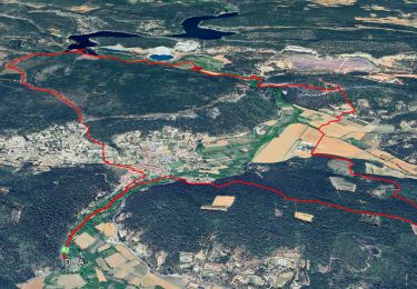
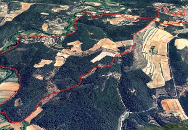
15.3 km | 21 km-effort


User


FREE GPS app for hiking
 SityTrail
IGN / Geographical institutes
SityTrail World
The world is yours!
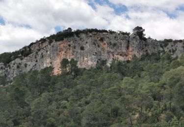
Trail Walking of 13.1 km to be discovered at Provence-Alpes-Côte d'Azur, Var, Le Thoronet. This trail is proposed by marieamelie.
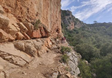
Attention passage difficile avec main courante vers les habitations troglodytiques du Trou des fées. Il y a une possibilité de contourner par un chemin en contrebas.
On foot

Walking

Walking
Walking
Walking

Walking

sport
Walking

Walking